A century ago, government maps of the Younghusband Peninsula marked dozens of freshwater ‘waterholes’. Today, most of them can no longer be seen.
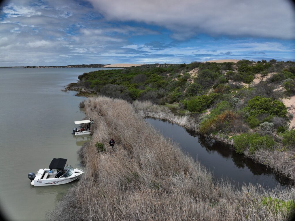
Stretching between the Coorong and the sea, the Younghusband Peninsula is Australia’s longest coastal dune system, formed over around 8000 years. Hidden within its dunes are freshwater soaks – natural water storage areas, often below ground, where fresh water collects in sand, rock holes or sandy creek beds.
The Centre’s freshwater soaks project is investigating this changing landscape to understand where soaks are located and how they function, so they can be better protected for future generations.
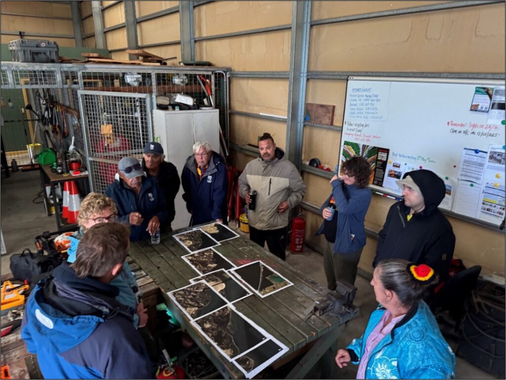
The team began their search for soaks with historical maps, including some that were up to 100 years old. They digitised historical maps and overlaid them onto modern maps and satellite images to see if historical soaks could still be identified in the landscape.
“Maps from a century ago show dozens of ‘waterholes’ that we surmise were used for watering stock, and we know that Indigenous people relied on soaks for water, well after that,” said Associate Professor and project lead Margaret Shanafield (Flinders University).
The team worked closely with Ngarrindjeri Elders and rangers to locate and understand the significance of soaks in the area. Through time spent together, listening and sharing knowledge, the researchers learned that the ‘waterholes’ marked on historical maps were natural soaks.
“Pretty much all the soaks that were identified on South Australian maps from about 100 years ago are no longer apparent in the modern landscape. That suggests the dunes are really dynamic,” she said.
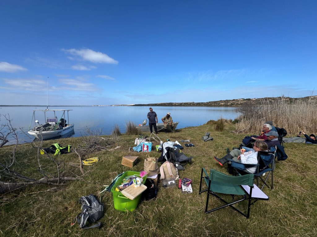
The project team then went on Country with Ngarrindjeri Elders and rangers to visit many of the soaks they had found with satellite imagery. Elders shared stories that provided important context, including knowledge of middens, burial sites and significant events connected to these locations.
“The Younghusband Peninsula is absolutely full of cultural heritage – Ngarrindjeri have lived here for many generations. So, it was important to us to tread carefully on this Country and we had Ngarrindjeri elders and typically also rangers with us every time we went out,” said Margaret.
Associate Professor Shanafield said that most of the soaks found during the project were quite brackish. As a result, low salinity freshwater soaks now appear to be rare in today’s landscape and are a particularly valuable resource.
“We see that even though there has been little colonial settlement of the Younghusband Peninsula, there has been a lot of change over the past 100 years. These soaks are critical to the iconic native wildlife in the Coorong, such as the emus that we frequently saw parading their young nearby.”
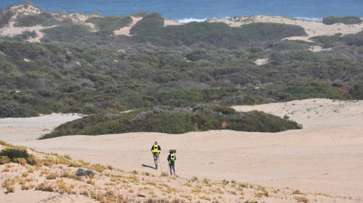
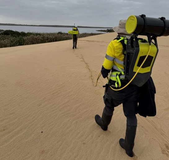
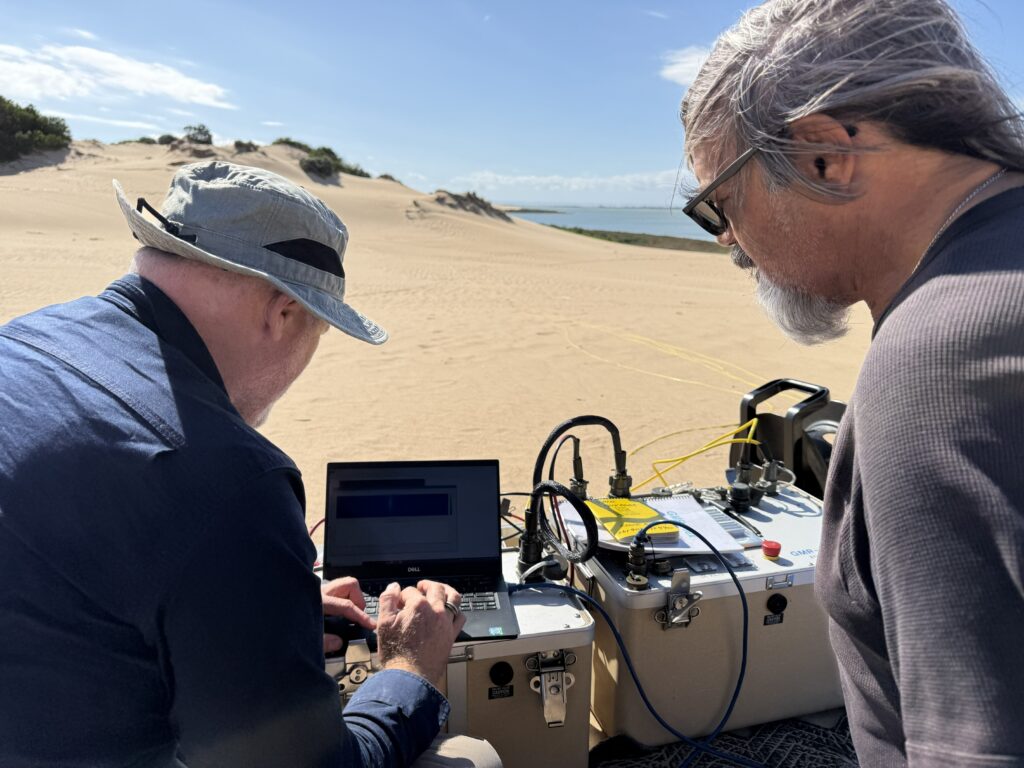
The team also investigated a perennially-wet soak north of Long Point to better understand how it functions. They used geophysical tools that can ‘scan’ underground surfaces without drilling to map the soak structure and water flow. Shallow piezometers (small monitoring wells) were installed to track how water levels changed throughout the year and to estimate how much water plants were using.
At this site, freshwater was found sitting right on top of salty sea/Coorong water. Up to 20 meters of freshwater was perched above the ground in the dunes. The water within the dunes was found in layers, and in some layers it moved surprisingly quickly through the sand – up to 20 metres per day. Because soaks are located at low points between the dunes and the Coorong, water within the dunes continually drains into them.
Rainfall in winter (June–July) caused water levels to rise underground, before falling again as rainfall decreased and temperatures increased later in the year. On average, plants were using around 1 mm of water per day, which is close to the region’s total annual rainfall.
The project team are preparing a report on their findings to date, but there is still much to learn about soaks in the region.
“The Younghusband is so long, that we really had to focus on a subsection in developing a method to identify current soaks from satellite imagery. Plus, it’s been difficult to install monitoring gear near the soaks because the sand always fills up our holes,” said Margaret.
“So, we still have a lot to understand about the total number of soaks on the peninsula, what the rate of flow into the soaks is and how it changes seasonally, and what creatures live in and visit the soaks.”
A clearer understanding of where soaks are in the modern landscape will help land managers and Indigenous rangers monitor and protect them into the future.
“If we value the raw beauty and possibilities that this landscape offers, from fishing to showing our children native wildlife, then we need to also safeguard the resources that the ecosystem relies on,” said Margaret.