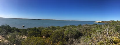
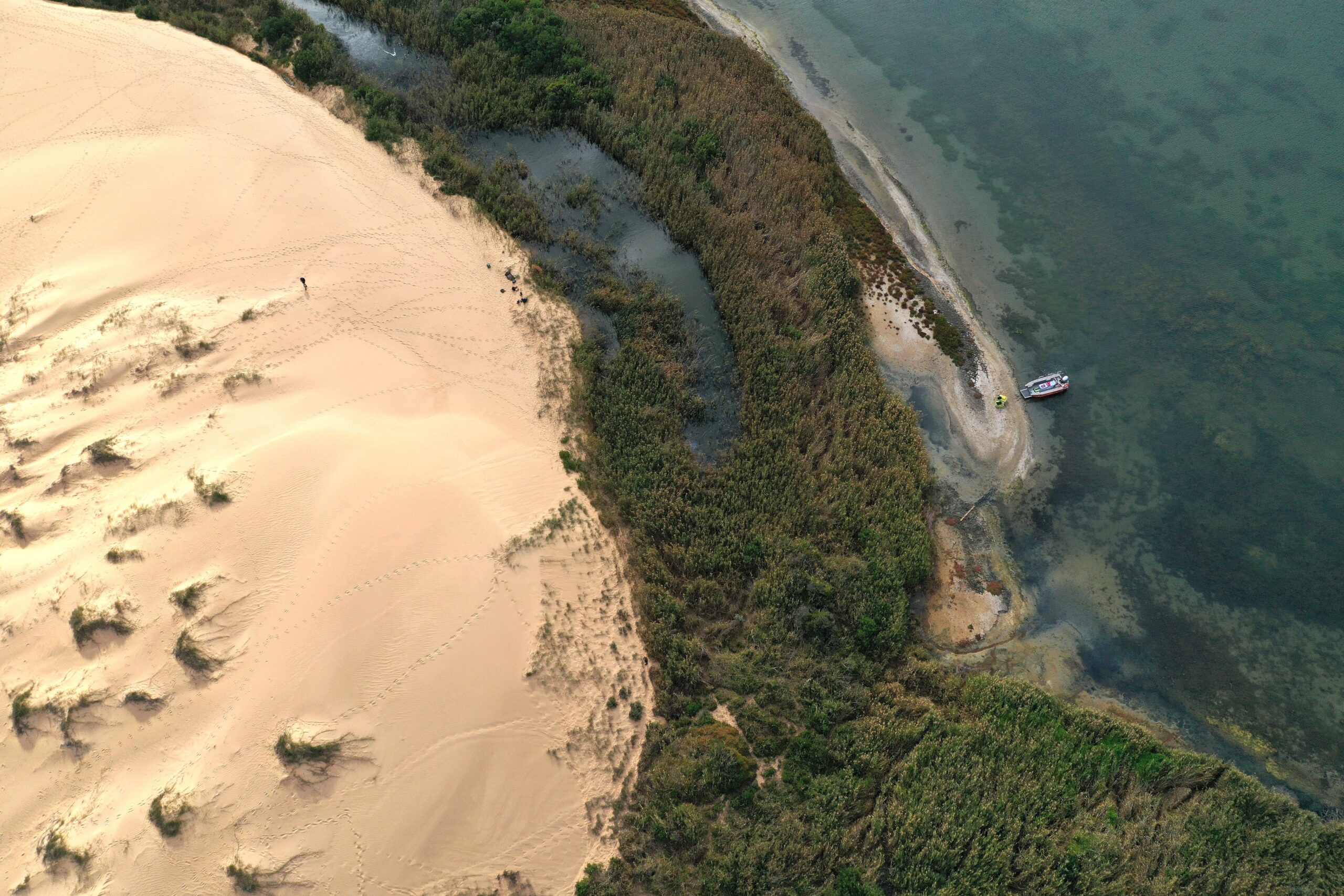
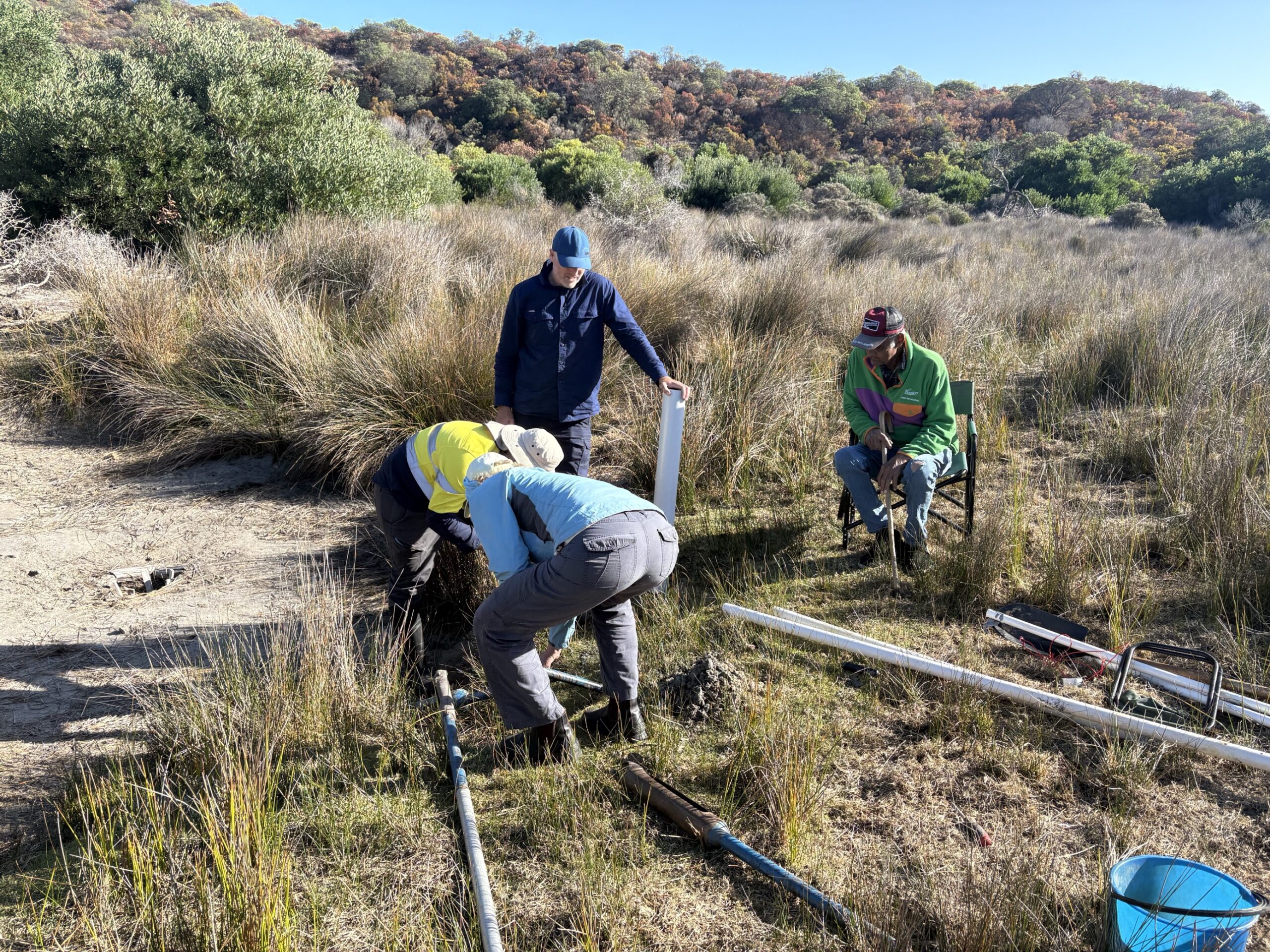
On the Younghusband Peninsula, soaks are open waterholes with salinity low enough to support human or animal consumption.
This project focused on understanding where we should expect to find low salinity soaks along the Younghusband Peninsula, developing a method to identify where they are from satellite imagery, and carrying out targeted fieldwork at selected soaks to begin to better understand how they function. The specific outcomes from undertaking this research in alignment with land management requirements are:
- Remote sensing mapping and ground-truthing of the freshwater soaks across Younghusband Peninsula,
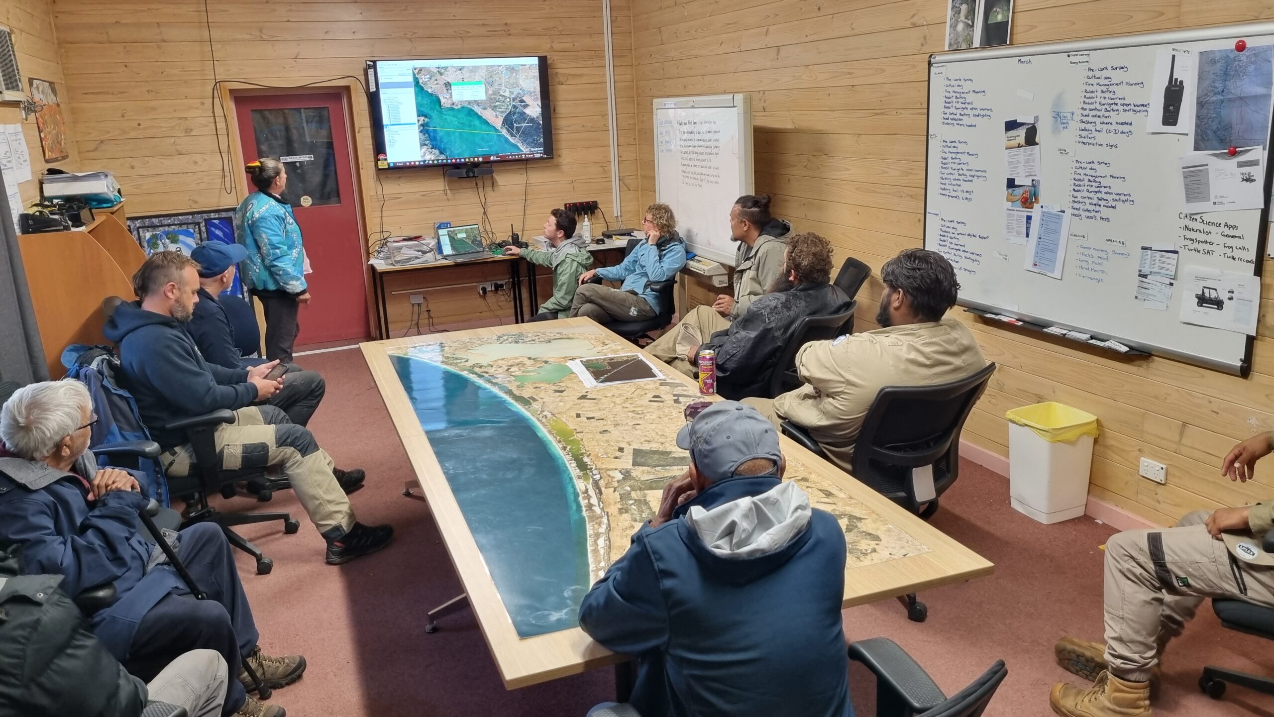
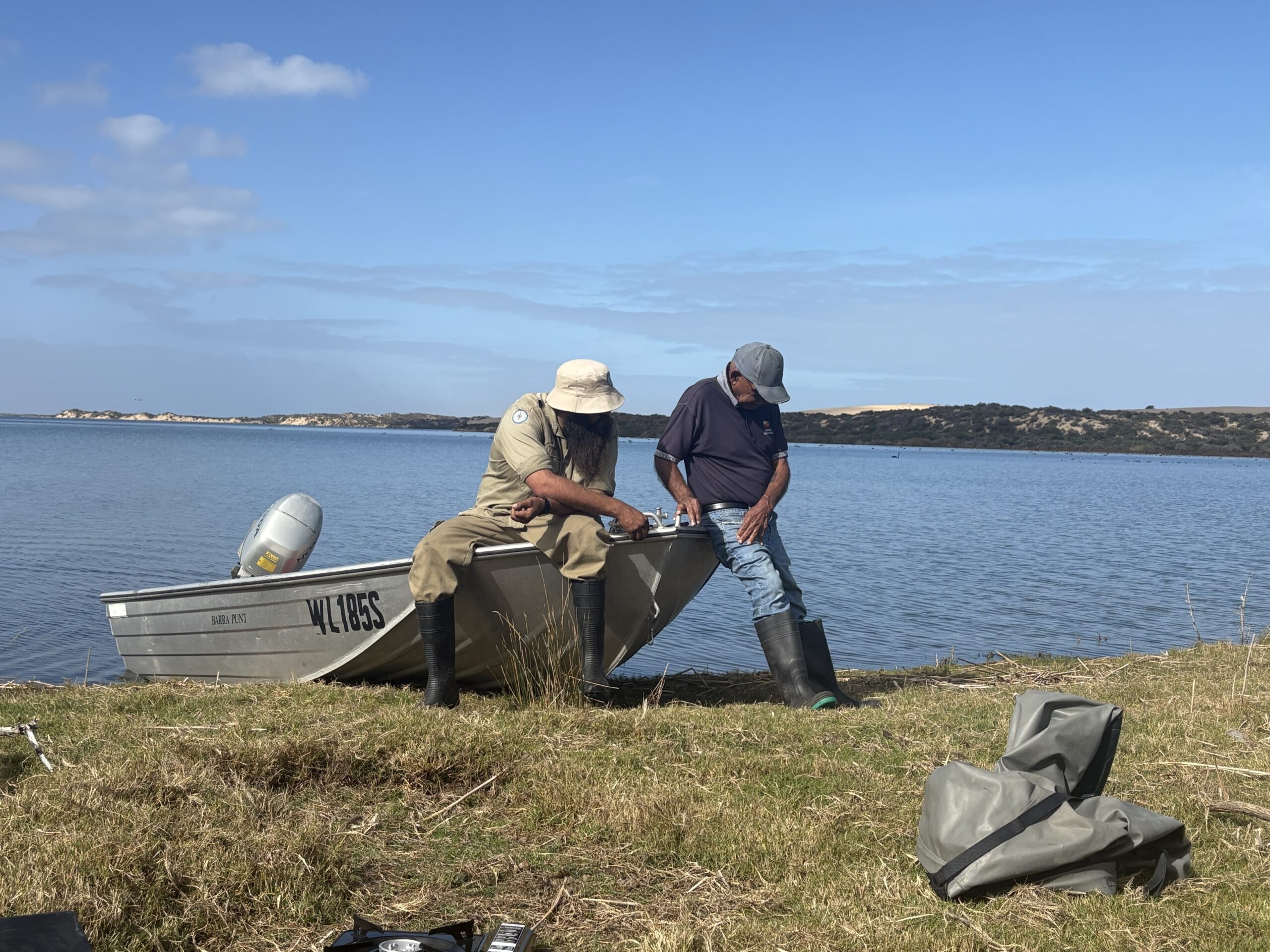
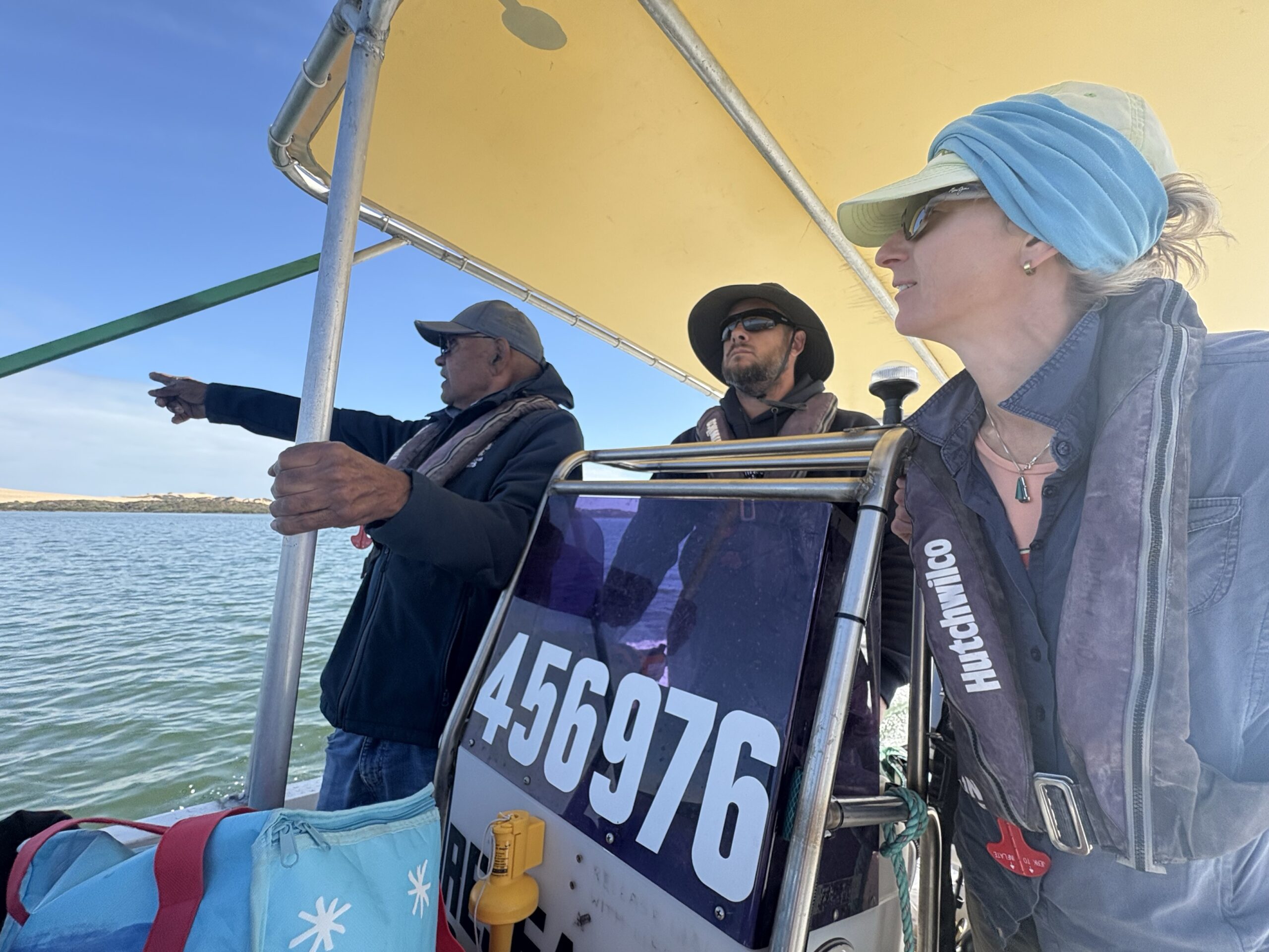
- Improving cultural connection with research and management of freshwater soaks through on-country activities with FN groups, DEW, and the Landscape Board,
- Understanding of hydrological dynamics of key freshwater soaks,
- Summary of freshwater soak vulnerability to climate change, and
- A graphical representation (infographic) of soak hydrology for broader dissemination and synthesis report suitable for publication in peer-reviewed journal.
Using maps from the early 20th century, we digitised documented soaks along the Younghusband Peninsula. Visual inspection of satellite imagery from the past 15 years indicates that few of these soaks likely exist in the modern landscape. Using multi-spectral imagery, we sought to precisely locate currently existing soaks, which are typically small and often easy to confuse with shadows on satellite imagery. This process was refined following ground-truthing of initially identified, potential soaks. The salinity of the identified soaks ranged from brackish (1,600–16,000 mS/cm) to salty (>16,000 mS/cm; seawater ~55,000 mS/cm).
Most current soaks are located on the Coorong side of the peninsula, at low elevations relative to Coorong water level elevation. The presence of Phragmites australis (common reed), a fresh-brackish plant species, was found to be a good indicator of low salinity soak occurrence. While the reed analysis was developed as a proof of concept during the current project, further development of this methodology provides an opportunity to locate and monitor soak distribution throughout the longitudinally expansive and logistically challenging extent of the Younghusband Peninsula.
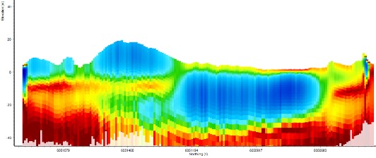
The soaks exist in a relatively simple but delicate hydrological cycle. Rainfall on Younghusband Peninsula is approximately 500 mm per year. This rainfall percolates through, and gets stored in, the dunes; how much water flows into a given dune each day is dependent on how big the dune is that replenishes the soak, and how much evaporation and plant water use is occurring (e.g., what season it is). This evaporation and transpiration accounts for most of the annual rainfall; evapotranspiration rates were calculated to match or exceed average annual rainfall for the study soaks. Any “leftover” rainfall flows through the soak and into the Coorong.
The soaks exist in an environment that has been heavily impacted by post-colonial development due to vegetation impacts from feral animal species and introduced weeds; however, it has little infrastructure or human water withdrawal. Nevertheless, both Ngarrindjeri and Burrandies communities expressed the wish that vehicle traffic along the Younghusband Peninsula be restricted to protect the delicate dune environment, and this may be a good way to limit future disturbances to the soaks.
Climate change is already affecting South Australia through alterations in the timing and intensity of storm events. While analyses of long-term rainfall records in the Coorong do not show statistically significant changes at an annual scale, previous studies indicate that dune vegetation is sensitive to interannual shifts in rainfall and to sudden storm events. Now that the locations of current soaks in the northern section of the Coorong have been identified, next steps are to:
- Improve the mapping method moving from a mixture of manual and machine learning to more automated deep learning AI methods,
- Extend the mapping to all sections of the Coorong,
- Understand how the hydrology and ecology of the soaks interact,
- Continue longer-term water level and water quality monitoring to understand how they change through time both seasonally and annually, and
- Monitor the impact of sea level rise and periodic flooding events.