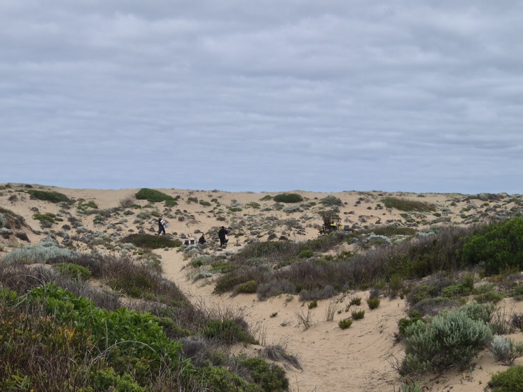
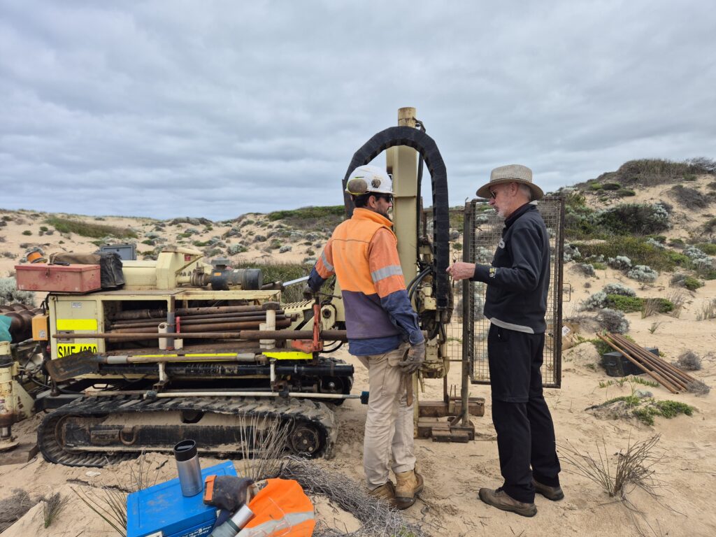
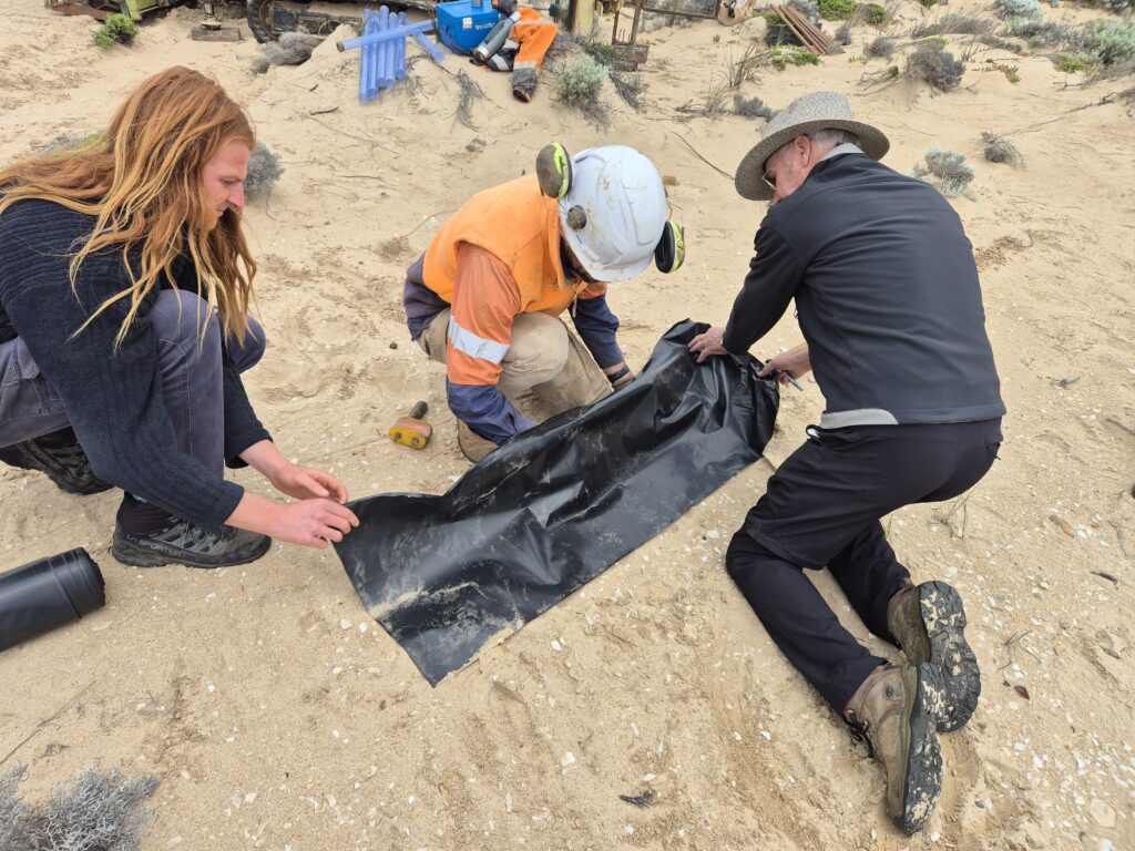
The coastal dunes project team have been working with cultural monitors and drilling experts across the Sir Richard Peninsula this week. The team has been drilling bores to collect dune sediment samples and install groundwater monitoring equipment. This is the first time that groundwater bores have been installed in a coastal dune system within South Australia.
The bores will provide critical data on groundwater levels and salinity and help the team understand how groundwater is affected by changing ocean, Coorong and freshwater habitats. This is one aspect of a larger CLLMM project that’s investigating what the beach–dune system looked like historically, its current characteristics and how it may be impacted by climate change in the future.
Coastal dunes serve as natural barriers that help protect estuaries and freshwater habitats (behind the dunes) from large waves, storm surges and flooding. The coastal dune system along the Younghusband Peninsula is the longest coastal system in Australia stretching 190 km from the Murray Mouth to Kingston. On the easterly side of the Murray Mouth lies Sir Peninsula Peninsula. It is believed that this massive protective system has been in its current position for around 7000 years, but it’s dynamic and naturally moving. Some dunes are moving inland at a rate of 10 metres per year, but we don’t know if this is occurring across the whole dune system.
The coastal dune project team from Flinders University – Prof Patrick Hesp, Prof Adrian Werner and Associate Prof Graziela Miot da Silva – are investigating these questions using a variety of research techniques:
- satellite and aerial imagery to look at beach profiles, dune migration and vegetation cover over time
- sediment sampling to find out how old dune sediments are and what they’re made of
- groundwater bores with data loggers to measure groundwater levels, groundwater waves and salinity levels.
Before any work began on the coastal dunes, Ngarrindjeri community members undertook cultural heritage assessments alongside an archaeologist from Stenhouse Heritage. The coastal dunes hold immense cultural importance, and the team is working with Ngarrindjeri community to ensure that all work is done in a culturally appropriate way. The Ngarrindjeri Aboriginal Corporation are providing onsite cultural monitors on a daily basis to keep eyes and ears on the ground, as it’s a sensitive area.
The team will use all of the data collected from the images, sediment and groundwater to assess changes in the beach–dune system and start to model future climate scenarios to see how they could impact the region. This research will give us an idea of the dynamic nature of coastal dunes and begin to explore how this critically important area may change with future sea level rise.